
Mobile Data Collection
Capture points, lines and polygons with GNSS precision—even without a connection.
Explore capabilitySurveyTerra helps surveyors, GIS teams and companies collect spatial data, manage projects, monitor field activity and securely deliver GeoPackage data from one connected platform.
Replace disconnected tools with one accurate, auditable workflow.
Capture points, lines and polygons with GNSS precision—even without a connection.
Explore capabilityOrganise every project, layer, form and assignment from one structured workspace.
Explore capabilitySynchronise field changes safely and keep every team member on the latest data.
Explore capabilityMonitor users, devices, progress and sync status across active field projects.
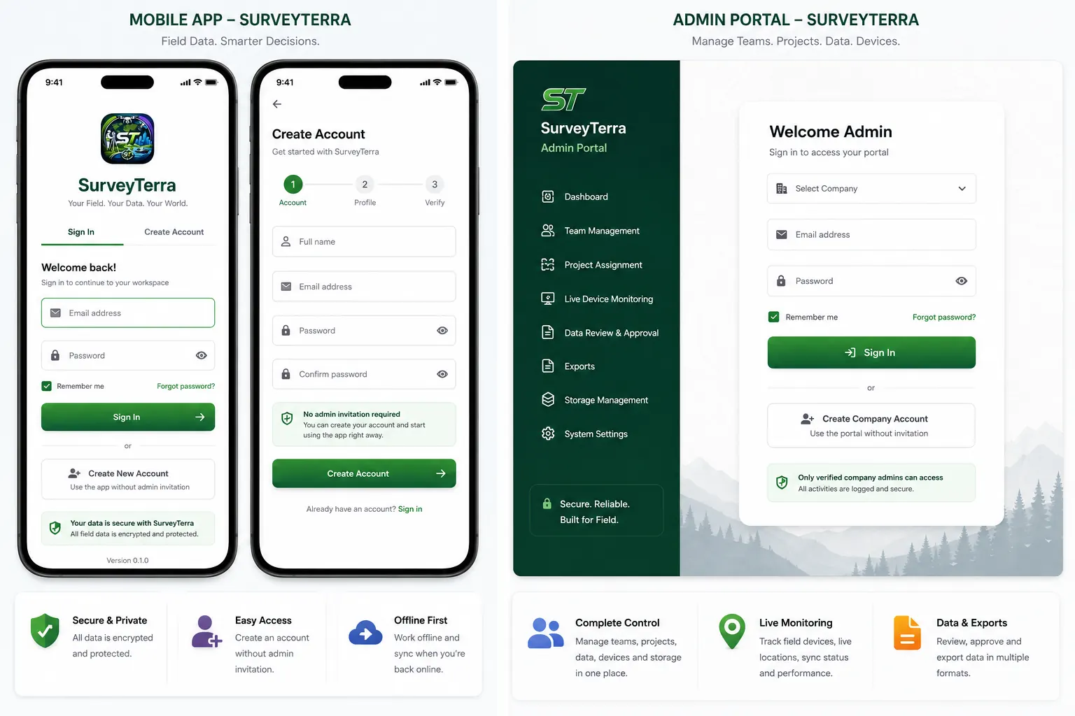
Explore capabilitySurveyTerra connects offline field collection, project assignments, live device status, data review, exports and storage management in one secure workspace.
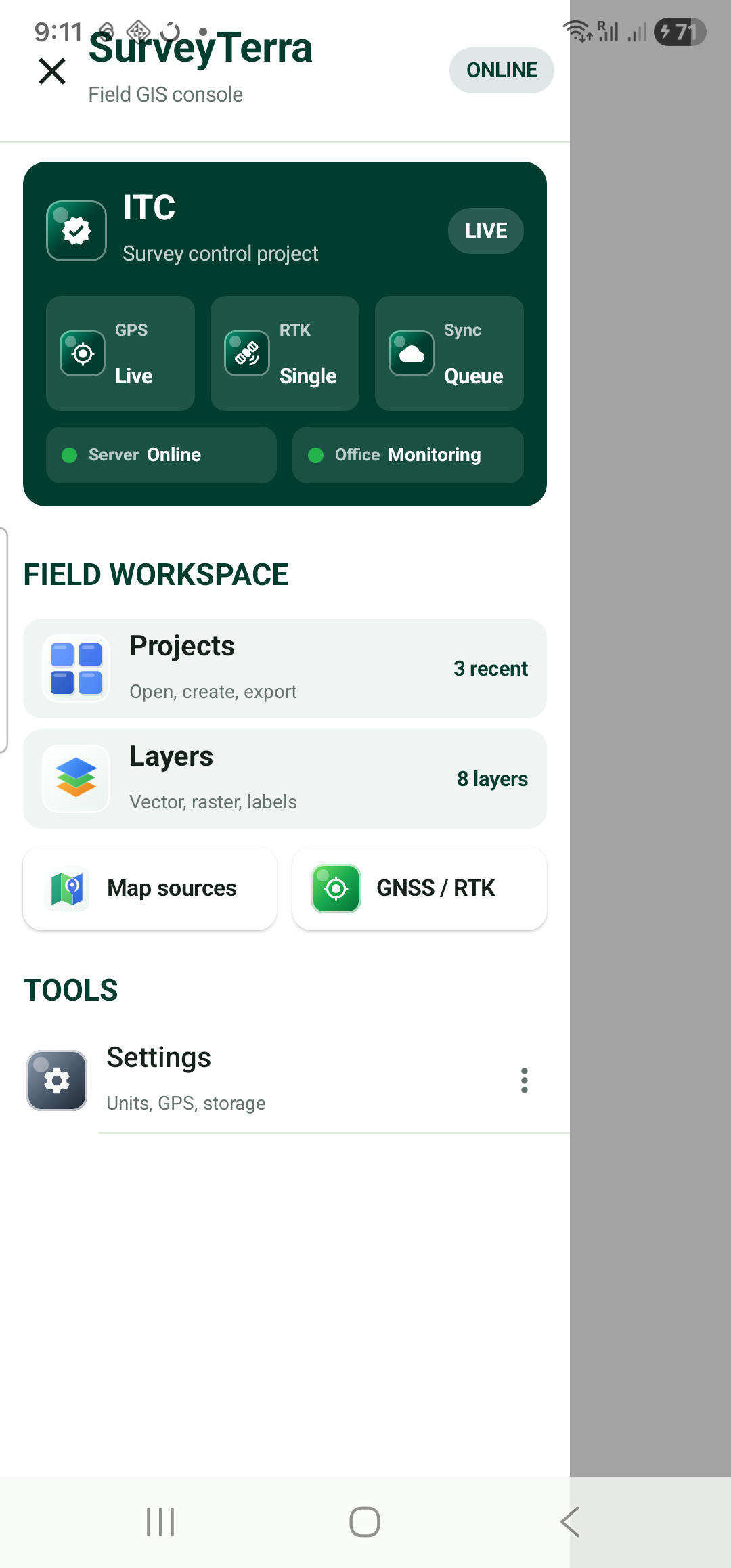
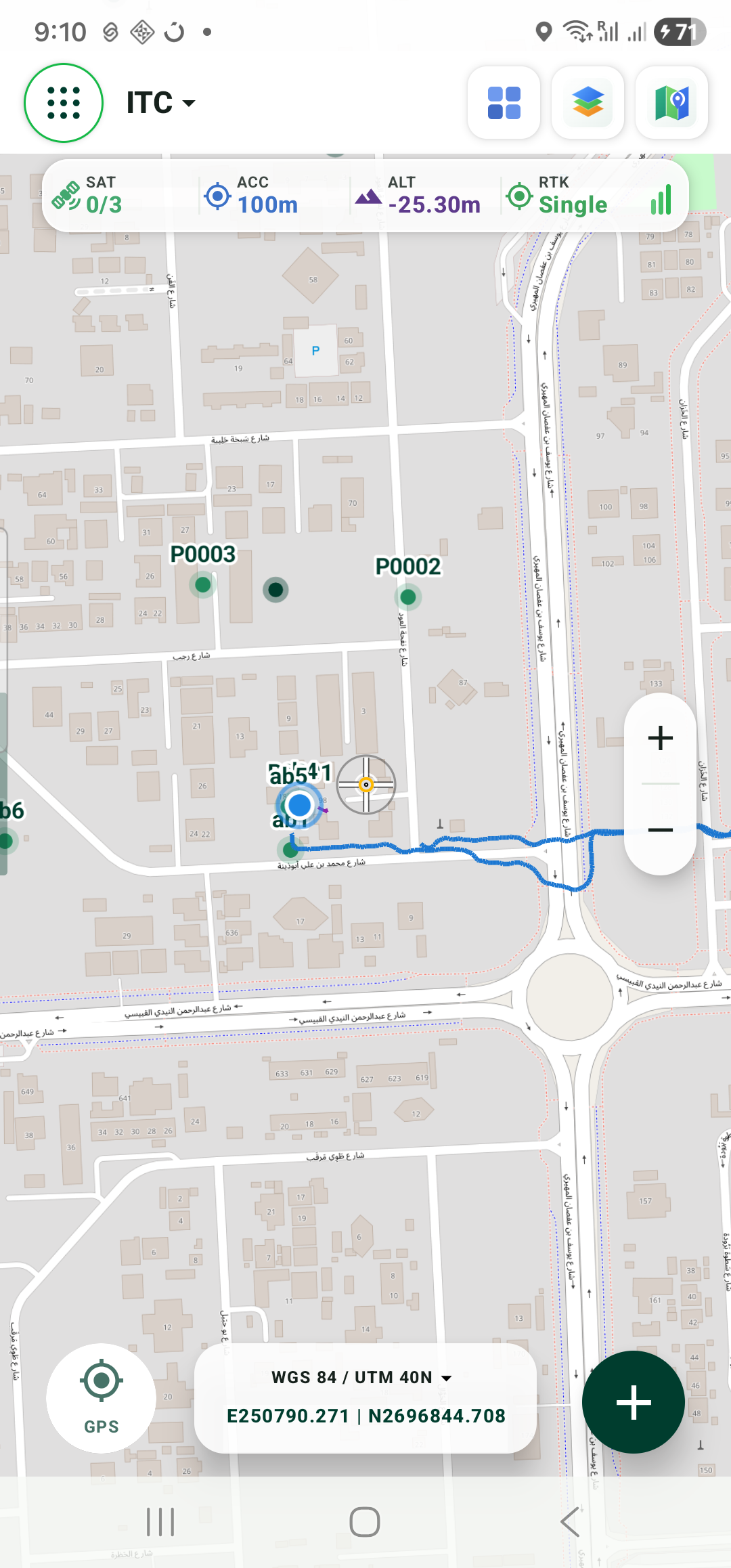
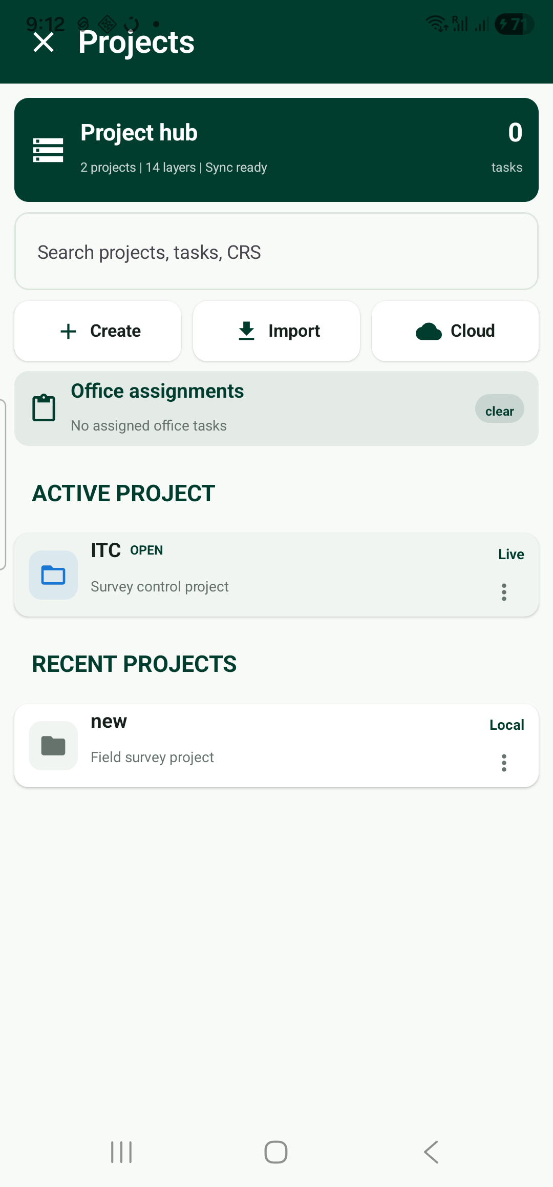
Work from a live map, monitor positioning quality and move between projects and layers without leaving the field workflow.
A focused field app paired with complete office visibility.
Give field teams a fast, focused Android app for geometry, attributes and photo capture.
Choose a CRS, build layers and configure the forms your team needs.
Set roles, allocate field areas and give each team a clear scope.
Capture geometry, attributes and photos online or completely offline.
Check quality, approve work and export clean GeoPackage deliverables.
Everything teams need to collect, control and deliver dependable spatial data.
Point, line & polygon collection
Offline survey mode
GeoPackage-first storage
Custom forms
Multiple photos per feature
GlobalID attachment management
CRS & custom EPSG support
WGS84, UTM & Dubai DLTM
Layer visibility & locking
GNSS monitoring
Project templates
Import & export
Team management
Live user monitoring
Audit history
Backup & restore
Flexible enough for assets, infrastructure and environmental work.
Cadastral, topographic and control surveys.
View solutionCorridors, assets and construction progress.
View solutionReliable field capture for utility networks.
View solutionSecure, auditable public asset workflows.
View solutionHabitats, samples and field observations.
View solutionValidate locations, details and photographs.
View solutionSee people, progress and device health without interrupting field teams.
Ahmed K.Road Survey A
OnlineSara R.Utilities North
OnlineMichael J.POI Verification
OfflinePrivate company workspaces and controlled access keep survey data protected from collection through delivery.
Clear permissions for owners, managers, field teams and reviewers.
Join the first SurveyTerra teams and use the complete platform free during the initial launch period.
during the initial launch period
What is ready, what is in progress and what comes next.
SurveyTerra is entering early access. Selected Android field teams will be invited in stages so we can support every rollout closely.
Join early access and help build the connected GIS platform your team needs.